INTRODUCTION
The Tirupattur forest division was formed in the year 1962 with its head quarters at Tirupattur, in Vellore revenue district. Earlier it was a part of erstwhile Vellore west division which was constituted way back in 1932. An extent of 750.52 square km has been classified as forest which constitutes of about 41% ie.1831.99 square km of the total geographical area of the Tirupattur District.
The division shares its boundary with Vellore forest division on its north, Tiruvannamalai on eastern side, Harur in western, Hosur on north western direction respectively.
The division shares the Interstate boundary of about 17.2 km with the state of Andhra Pradesh. The division comprises of exquisite eastern ghat hillocks popularly known as Jawadi malai and yelagiri hill which are primarily resided by malayali tribals. The Average elevation of the area ranges from 300 to 1200 meter from MSL with its highest point culminating at swamimalai about 1339 mtr on Yelagiri hills.
The Vellore division with headquarters in Tirupattur was started 1932. Total Reserved Forest Area – 68357.365 and total no of RFs is 40. Total Reserved Land Area – 4040.365 Ha and Total No of RLs is 8.
TIRUPATTUR DIVISION FOREST TYPES:
4.Southern Tropical Rivierne Forests (5/B1)
5.Southern Dry Deciduous Scurb Forests (5A/DS1)
6. Dry Euphorbia Scurb Forsets (5/DS3)
1.Southern Tropical Thorn Forests(6A/C1)
2.Southern Thorn Scurb Forests (6A/DS1)
3.Southern Dry Mixed Deciduous Forests(5A/C3)
Yelagiri Hills
Yelagiri hill is separate hill on the Eastern side of Tirupattur- Vaniyambadi Road. The total area of this hill is 72 sq.kms. Out of which 63 sq km is Forests ( 88%) It has almost circular based and steep rocky slops and Plateau on top. The outer slope is barren. Average height of this hill is 1000 mts. Highest point is Swami malai, situated on the top of the hill.
A wireless repeater station for the usage of Forest Department has been erected on the top of Swami malai. It is very useful for communication among all the Forest offices in Vellore and Dharampuri circles. The Athanavur village situated on this hill is gaining importance as a hill resort and attracts people during the holidays. The forest in yelagiri hill is semi evergreen type. There are more number of eucalyptus trees in this hill. Teak and silver oak trees are planted in large scales in patta lands. There are 14 tribal hamlets in this hill. Total population of these hamlets is approximately 2700. The majority population is only hill tribes called “Malayalies”. Other some people migrated from plains.

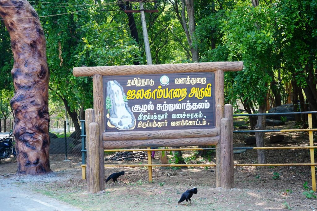
Jalagambarai Eco tourism Site
Community based eco-tourism was initiated at “Jalagamparai falls “an exquisite destination located at in Nagaluthu Reserved forest, at an elevation of around 500 m above MSL. in Tiruapttur Range of Tirupattur forest division. These Eco tourism activities were started in the year 2022-23 under Tamil Nadu Bio diversity Conservation and Greening Project for Climate Change Response (TBGPCCR) with the active involvement of the local communities. The Jalagamparai falls is located at the foot of Yelagiri hills, 12 Km away from Tirupattur is a weekend tourist destination.


